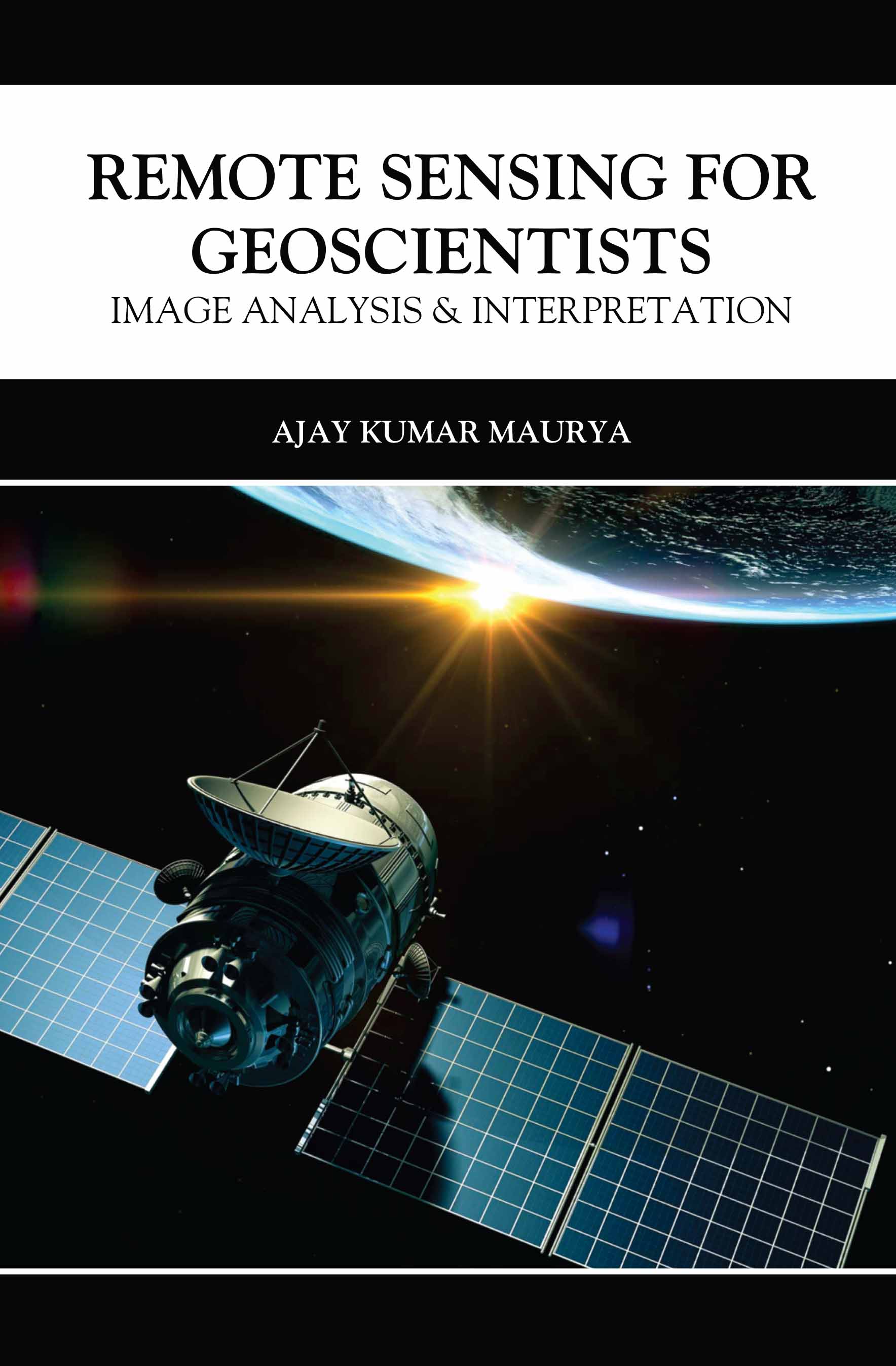
Remote Sensing for Geoscientists: Image Analysis & Interpretation
by Ajay Kumar Maurya
| ISBN | 9789369670802 |
|---|---|
| Publisher | SCIENTIFIC BOOKS INTERNATIONAL |
| Copyright Year | 2026 |
| Price | ₹5195.00 |

by Ajay Kumar Maurya
| ISBN | 9789369670802 |
|---|---|
| Publisher | SCIENTIFIC BOOKS INTERNATIONAL |
| Copyright Year | 2026 |
| Price | ₹5195.00 |
This book provides a thorough introduction to remote sensing techniques, focusing on the analysis and interpretation of satellite and airborne imagery in geosciences. It covers the principles of remote sensing, including the electromagnetic spectrum, sensor technologies, and image processing methods, as well as how these tools are applied in earth observation. The book delves into practical applications such as mapping land use, monitoring environmental changes, studying natural hazards, and exploring mineral resources. Emphasizing the integration of remote sensing data with geographic information systems (GIS), it guides readers through the processes of data acquisition, image enhancement, classification, and interpretation. With case studies, real-world examples, and practical exercises, this book serves as a valuable resource for geoscientists, environmental researchers, and students seeking to use remote sensing for geological studies, environmental monitoring, and resource management. It provides the necessary skills for analyzing complex spatial data to better understand Earth’s dynamic processes.